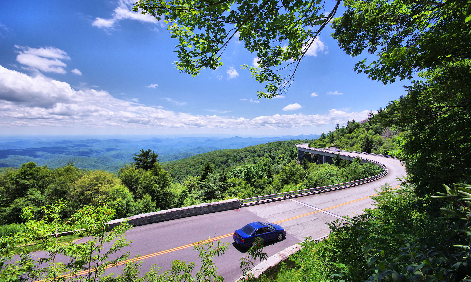
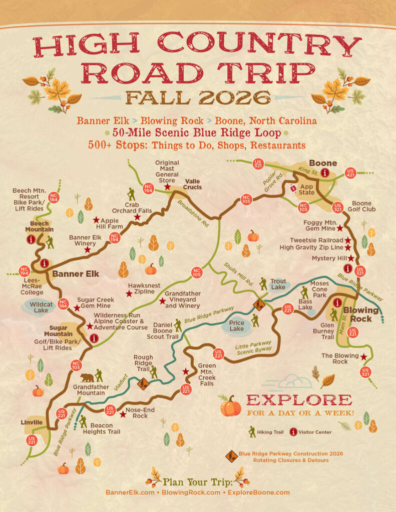
The High Country Road Trip Map was created as a tourism and economic recovery tool after Hurricane Helene caused extensive damage and closed much of the Blue Ridge Parkway. The first edition of the map was published in spring 2025 to communicate that the High Country area was open and ready for visitors to return to Avery and Watauga Counties in North Carolina. Along this 50-mile driving tour loop, visitors could discover than 500 stops that included attractions, hikes, shops, galleries, and restaurants, along with the charming downtowns of Banner Elk, Blowing Rock and Boone.
Longtime favorite attractions along the way included Grandfather Mountain, Tweetsie Railroad, Mystery Hill, Wilderness Run Alpine Coaster, original Mast General Store and Apple Hill Alpaca Farm. This was a collaborate project with the TDAs of Banner Elk, Blowing Rock and Boone.
Digital versions of the map were a huge hit on social media with 2+ millions views. Printed copies disappeared quickly. A 2026 edition was created as a rebuild of the Blue Ridge Parkway (planned prior to Helene) closed sections in 2026.
A special thanks to my fabulous graphic designer Ed Morgan!